|
|
TODAY.AZ / Politics
Armenia deliberately delays submitting minefield maps to impede return of IDPs
12 February 2024 [18:11] - TODAY.AZ

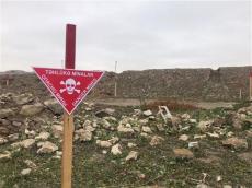
The mine problem in Garabagh has been causing serious problems for a long time. The fact that Armenia refused to present mine maps at first and that the maps presented later were inaccurate indicates how tense the processes are.
Armenia has submitted 8 minefield maps of territories located in the liberated lands to Azerbaijan.
The Azerbaijan National Agency for Mine Action (ANAMA) stated that the submitted forms mainly consist of notes on the mined areas covering the Murovdag height of the Kalbajar region.
The minefield maps submitted by Armenia cover some of the areas along the former contact line.
However, information about the part of the former contact line passing through Khojavand, Tartar, and Goranboy districts, as well as the areas mined by Armenian military units when they retreated in November 2020, has not yet been submitted.
Many have suspicions about these maps because previous minefield maps submitted by Armenia were inaccurate. Only 25 percent of these maps were correct. Especially submitting minefield maps of the height where civilians do not live increases this suspicion.

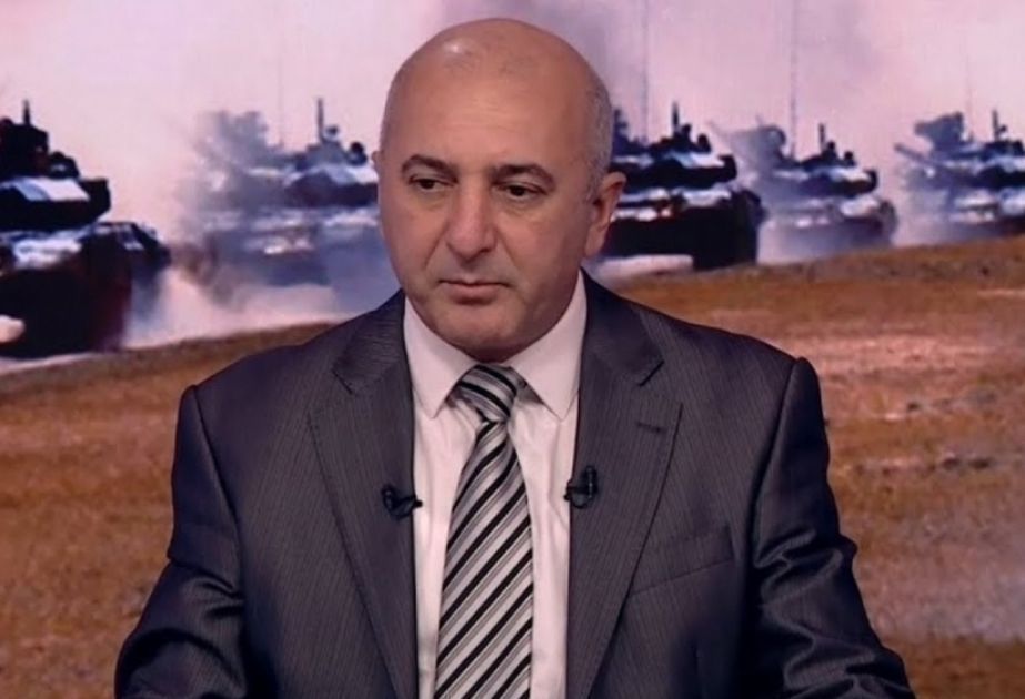
Speaking to Azernews on the issue, the military expert Adalet Verdiyev noted that the Armenian side is well aware that presenting the map of mined areas is one of the factors that will be used against it in the future. Besides, by presenting these maps, the Armenian side confirms the mining of Azerbaijani territories by its military and armed forces and engineer troops during the occupation.
“On the other hand, of course, the late presentation of these mined areas is used as a means to slow down the demining process of Azerbaijan, in other words, to delay the return of Azerbaijanis to their native lands. Armenia has never voluntarily submitted the map of mined areas to the Azerbaijani side. Yerevan expected something from Azerbaijan in return, such as the return of some of the Armenian prisoners of Armenian origin who were arrested. Therefore, these maps of mined areas in the hands of Armenia are being used as a means of blackmail against Azerbaijan. This has always been so, and it is so now. It will probably be no different in the future,” the expert said.
He pointed out that Armenia is well aware that Azerbaijan will not build any settlement at the height of Murovdag. In terms of climate, geographical factors, and relief, a settlement will not be built there. Therefore, Yerevan gives the mine map of these areas but hesitates to give the map of the areas where the civilian population lives.
“As for the question of the accuracy of the maps, I think that the hostile behavior of Armenia so far gives us the reason that inaccurate maps are being presented to Azerbaijan on purpose. The Armenian side is trying to extend the submission of maps as much as possible. Providing inaccurate maps of one elevation of the 13,500 square kilometers of freed territory indicates that the Armenian side is trying to spread this process for as long as possible. For example, there were around 93,000 maps in Aghdam district alone. However, the number of presented maps is 8 thousand. Even as a percentage, this is a very small and ridiculous number,” the military expert Adalet Verdiyev concluded.
URL: http://www.today.az/news/politics/244748.html
 Print version
Connect with us. Get latest news and updates.
See Also
- 29 September 2025 [17:37]
First VP Mehriban Aliyeva shares post on passing of Honored Artist Jabir Imanov - 29 September 2025 [16:00]
New unified Cargo Processing Center opens at Baku International Sea Trade Port - 29 September 2025 [15:42]
Prime Minister Asadov arrives in Minsk for CIS government meeting - 29 September 2025 [15:38]
Documents reveal civilian attacks during April 2016 Battles at Baku court - 29 September 2025 [14:44]
Azerbaijan, UN set to sign 2026–2030 program on climate action - 29 September 2025 [13:18]
President Ilham Aliyev awards Rafig Mammadhasanov with order of labor - decree - 28 September 2025 [20:00]
Erdogan’s US visit seen as potential turning point in Ankara–Washington ties [OPINION] - 28 September 2025 [14:00]
Rectors of Turkish universities visit Victory Park - 28 September 2025 [12:30]
Azerbaijan's path to Victory: Chronicle of September 28 - 28 September 2025 [11:35]
Ombudsman's Office prepares video on right to access information [VIDEO]
Most Popular
 Erdogan’s US visit seen as potential turning point in Ankara–Washington ties [OPINION]
 Syrian court issues arrest warrant for former president Bashar al-Assad
 Chilean senate delegation visits Shusha and Khankendi on Remembrance Day
 Ministry of Economy staff honor martyrs at Victory Park on Memorial Day
 Nikol Pashinyan highlights importance of regional cooperation for Peace in South Caucasus
 Patriotic war, national dignity, eternal remembrance [OPINION]
 Armenian PM: I am happy to report to international community that peace established between Armenia and Azerbaijan
